Font de la Torre i volcà de Puig d'Adri
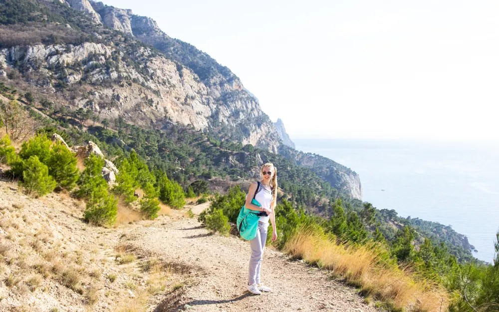
Always an easy route. Still check the forecast first.
- Walk it and tick it off to add a stamp to your passport.
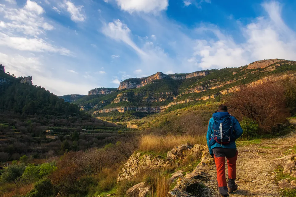
Photo found by location, not checked by hand: Olga Gairin, CC BY-SA 3.0, Wikimedia Commons

5,500 marked routes with danger notes and sources, from coast walks to high mountains.
Pick a place, a level and a length. We list matching routes, famous ones first.
Always an easy route. Still check the forecast first.
Photo found by location, not checked by hand: Olga Gairin, CC BY-SA 3.0, Wikimedia Commons
Every dot is the start of a marked route. Open the map to filter, zoom and switch on flood zones or the wildfire forecast.
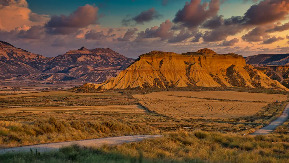
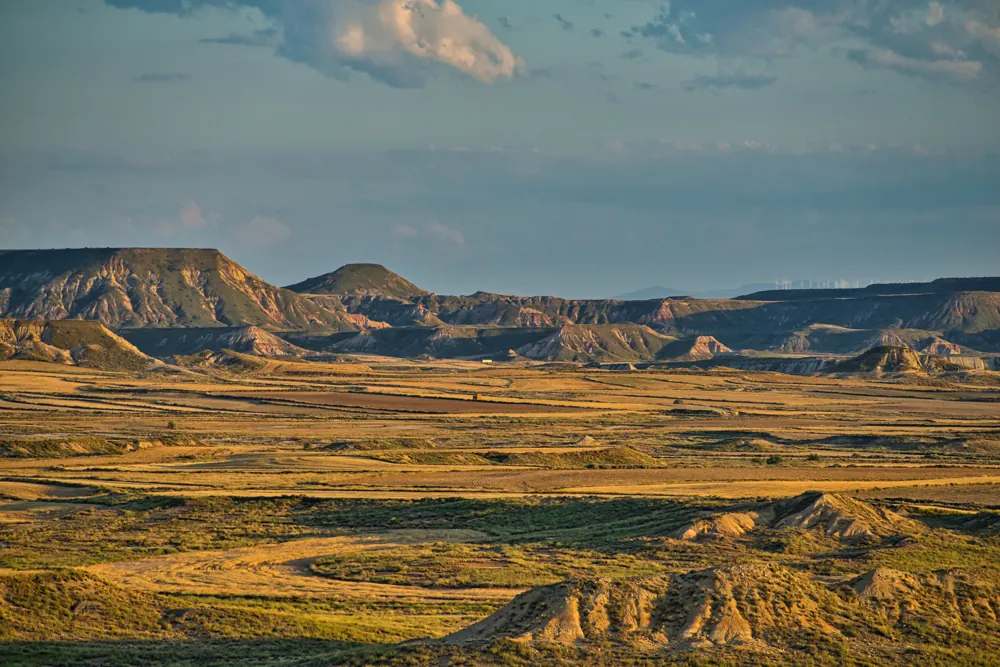
Landscapes behind some of the best known walks in Spain.
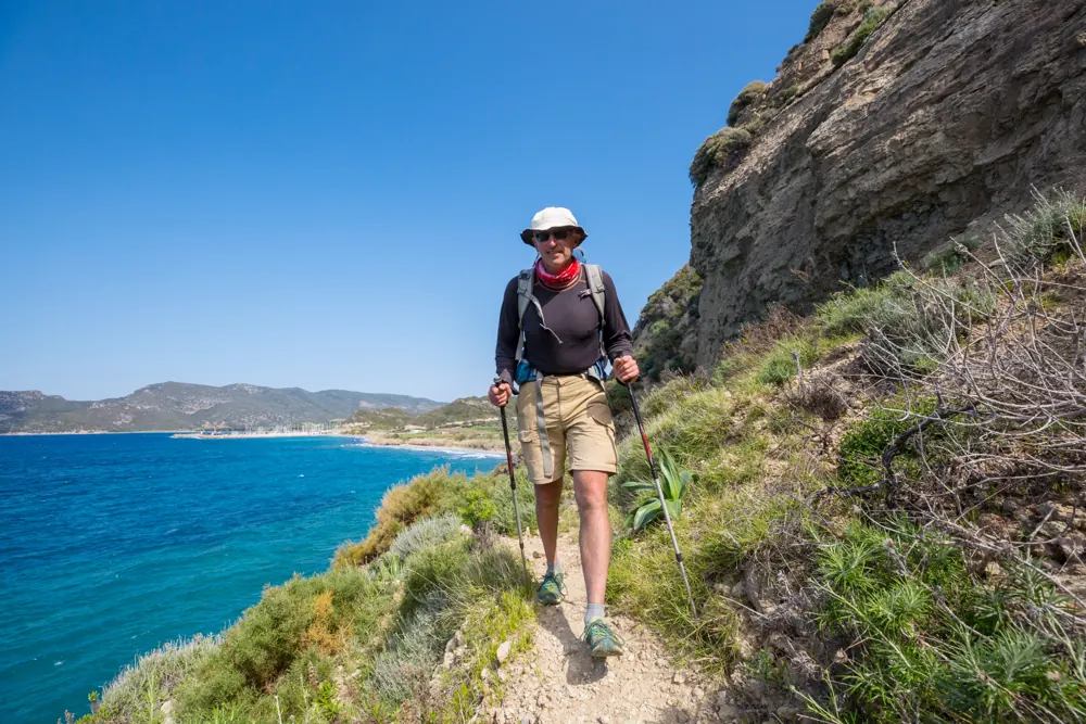
Routes we checked by hand, with a photo from the route itself.
Hard (est.)AsturiasVega de Urriellu10.4 km5 h 20 min1,145 m up
Moderate (est.)AsturiasLagos de Covadonga8.3 km3 h345 m up
Moderate (est.)GranadaLos Cahorros de Monachil10.0 km3 h 40 min445 m up
Hard (est.)MálagaEl Alcázar to La Maroma10.2 km5 h 20 min1,210 m up
Hard (est.)GranadaMulhacén7.3 km3 h 50 min865 m up
Easy (est.)HuescaBujaruelo valley3.3 km1 h55 m up
Hard (est.)Balearic IslandsGR 221 from Calvià to Estellencs18.5 km6 h 50 min835 m up
Moderate (est.)MálagaRío Chíllar7.4 km2 h 25 min300 m up
Hard (est.)GranadaPico Veleta5.2 km3 h 30 min860 m up
Easy (est.)Santa Cruz de TenerifeLas Portelas to Masca3.4 km1 h 40 min250 m up
Easy (est.)MálagaCaminito del Rey3.3 km2 h295 m up
Hard (est.)AsturiasPoncebos to Bulnes and Sotres18.0 km8 h 30 min1,325 m upPlain guides to walking in Spain, built from our route data.
GuideBest hikes in Spain: famous trails to start withA shortlist of well known walking trails in Spain, with distance, climb, estimated time and the danger notes for each.
GuideEasy hikes in Spain for beginnersShort, low climb walks across Spain that suit beginners, with distance, climb, time and danger notes.
GuideFamily friendly hikes in Spain with kidsShort, flat loop walks across Spain that suit children, with distance, climb and danger notes.Trails whose Wikidata entry is a hiking trail or a long distance path. View all famous routes
Hard (est.)AlicanteGuardamar del Segura - Torrevieja (GR 92 E21)28.0 km7 h 15 min95 m up
Hard (est.)HuescaSenda Pirenaica - E21 (GR 11)20.6 km8 h 45 min1,330 m up
Hard (est.)HuescaÉtape 2113.6 km5 h 10 min280 m up
Moderate (est.)ÁvilaSenda de la Laguna Grande (PR-AV 17)6.8 km2 h 35 min390 m upHard (est.)A CoruñaCamino Primitivo (alternativa norte)43.1 km12 h 05 min400 m upHard (est.)HuescaSenda Pirenaica - E29 (GR 11)37.6 km14 h 35 min1,725 m upHard (est.)NavarraSenda Pirenaica - E35 (GR 11)35.4 km12 h 25 min1,070 m upHard (est.)NavarraSenda Pirenaica - E32 (GR 11)34.9 km14 h 15 min1,885 m upHard (est.)BarcelonaEl Camí IT6TR7 El Camí Central: de Castelló de la Plana a Montserrat32.1 km11 h 25 min1,435 m upHard (est.)NavarraSenda Pirenaica - E37 (GR 11)31.6 km10 h 10 min850 m upHard (est.)BarcelonaGR 270 Camí del Llobregat - Etapa 631.2 km8 h 55 min395 m upHard (est.)GironaSenda Pirenaica - E11 (GR 11)29.8 km10 h 15 min1,040 m upHard (est.)LleidaSenda Pirenaica - E18 (GR 11)28.6 km11 h 25 min1,910 m upHard (est.)TarragonaCatalunya E26 (GR 92)28.6 km7 h 25 min100 m upSlide through all 51 provinces or search for one. Every card shows its routes and two to start with.
A short email with one route, its danger notes and where to check the forecast.
Information only. Conditions change, the data can be wrong, and you are responsible for your own safety. Check the official bulletins on the day, tell someone your route and call 112 in an emergency.
Read the full notice


